- Write by:
-
Monday, February 15, 2021 - 7:59:21 PM
-
710 Visit
-
Print
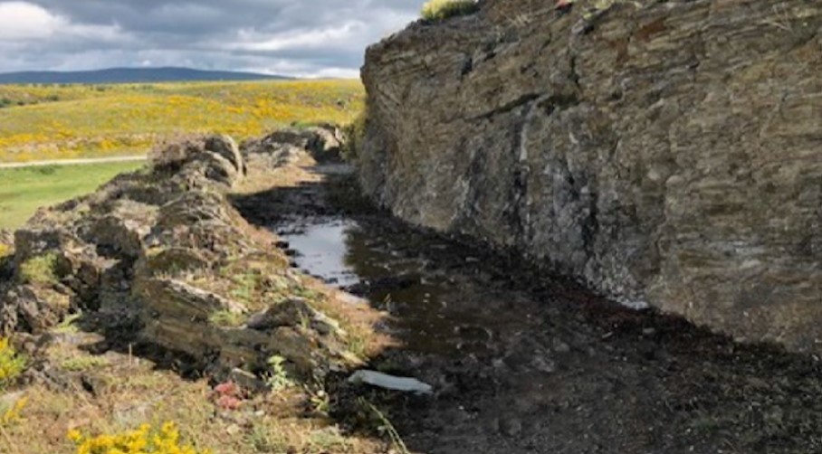
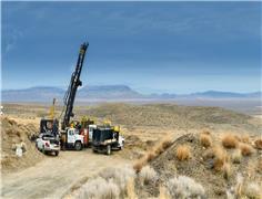
Mining News Pro - Drones equipped with multispectral cameras are providing clues of the path followed by water canals dug 2,000 years ago in Spain to support Roman-era gold mining operations.
The drones provide multispectral images whose different bands reflect the range of vegetation that covers ancient mine sites in the northwestern León province.
By interpreting the variety of colours shown in the electromagnetic spectrum bands, researchers are able to determine the type of vegetation that covers each area of the site, which is determined by the geology. In other words, if they notice holm oak trees, they know underneath there is granite; if they see oaks and pines, they know slates and quartzites dominate the terrain.
The logic behind this approach is that canals are places where moisture is better kept and thus, plants grow in their surroundings. This vegetation would also be determined by the rocks that were used to build the structures.
The research has been published in the journal Remote Sensing. According to the authors of the study, the new technique has allowed them to see more clearly the entire trajectory of the water canals and the location of the ponds that they flow into.
In the paper, the scientists say that historic mines in León constitute Europe’s largest ancient mining infrastructure, whose hydraulic network extends for 1,200 kilometres.
Besides being able to see the full extension of the canals, the researchers from the University of León were also able to confirm that their width varies based on the terrain’s geological features and on the need to maintain the water flow constant.
“The results showed that the size of the channel box and its width were factors that do not depend exclusively on the available water resources, as previously suggested, but also on the geological and hydraulic conditioning factors that intervene in each sector,” the paper reads.
Previous studies used a technology known as LiDAR, or laser imaging, detection, and ranging, to map the terrain from airplanes but the resolution of the images, in the case of this area, was not considered high enough.
“All in all, these inferences might help researchers develop new strategies for mapping the Roman mining infrastructure and establishing the importance of geological inheritance on the construction of the hydraulic system that led the Romans to the accomplishment of the largest mining infrastructure ever known in Europe,” the study concludes.
Short Link:
https://www.miningnews.ir/En/News/610469
The four largest indigenous communities in Chile’s Atacama salt flat suspended dialogue with state-run copper giant ...
A prefeasibility study for Predictive Discovery’s (ASX: PDI) Bankan gold project in Guinea gives it a net present value ...
Representatives from the Peñas Negras Indigenous community, in northwestern Argentina, clashed with heavily armed police ...
Iron ore futures prices drifted higher on Thursday as the latest soft data from top consumer China triggered renewed ...
Newmont confirmed on Wednesday that two members of its workforce died this week at the Cerro Negro mine located in the ...
Rio Tinto said on Wednesday it is teaming up with a global venture studio and start-up investor to back the development ...

Chinese investors are snapping up stocks tied to high-flying metals from copper to gold, aiding an onshore market facing ...
Outflows from global physically backed gold exchange traded funds (ETFs) continued for a 10th month in March, but at a ...
i-80 Gold fell by over 11% at market open Tuesday following its announcement of a C$100 million ($74m) public offering ...
No comments have been posted yet ...