- Write by:
-
Monday, November 9, 2020 - 9:56:43 PM
-
621 Visit
-
Print
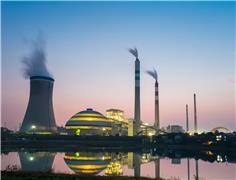
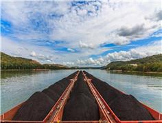
Mining News Pro - Researchers from Germany and China are using data from the Sentinel 1 mission of the European Union’s Copernicus Earth observation program to monitor soil stability at open-cast mines.
In a study published in the International Journal of Applied Earth Observation and Geoinformation, the scientists explain that they used a special radar method, the Synthetic Aperture Radar Interferometry (InSAR), to investigate lignite regions in North Rhine-Westphalia in Germany.
The InSAR method in itself is not new and is used in many places to detect ground deformations, whether after earthquakes or subsidence due to the overexploitation of underground water reservoirs. However, the method has one disadvantage: InSAR satellites such as ERS or ENVISAT only record a certain region on average once a month or less.
But when the researchers combined the InSAR data with those provided by the Sentinel 1 mission, which has a six-day repeat time interval and small orbital tube, they were able to investigate hazards in very specific mining areas in Germany almost in real-time and in much greater detail in terms of time and space than before.
Mahdi Motagh, one of the authors of the study from the German Research Centre for Geosciences GFZ, explained that the mission is also able to provide a comprehensive overview of the situation in the mining industry.
“By combining the results of this new technology with other on-site measurements and high-resolution SAR systems such as the German TerraSAR-X, the geotechnical risk of open-cast mines could be assessed far more completely than before,” Motagh said in a media statement.
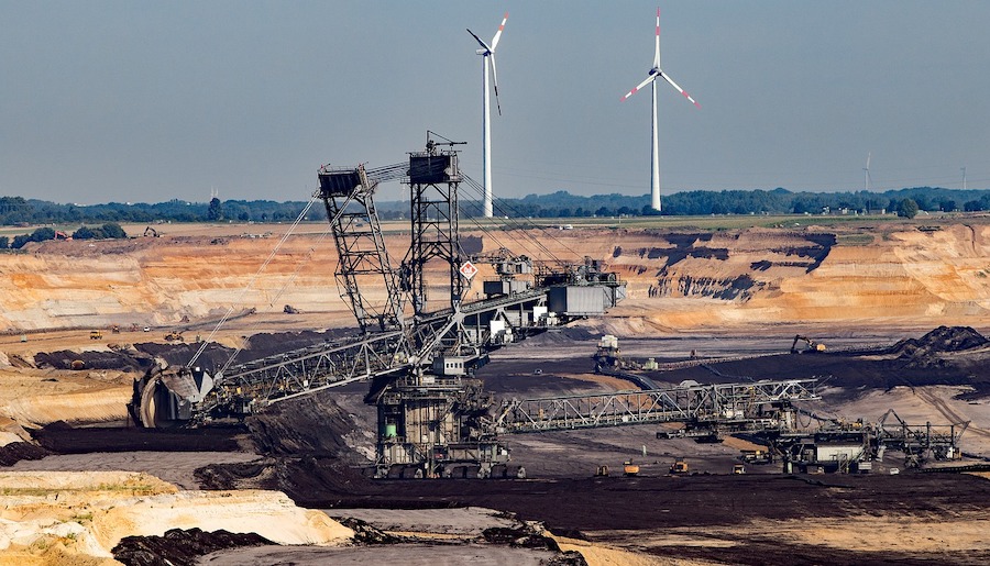
The work by Motagh and his colleagues showed that there is significant land subsidence in the open-cast mining areas of Hambach, Garzweiler and Inden. The reason for this is the compaction process of overburden over refilled areas with subsidence rates varying between 30-50 centimetres per year over those mining districts.
Satellite data also uncovered a significant horizontal shift of up to 12 centimetres per year at one mine face. Similarly, the former open-pits Fortuna-Garsdorf and Berghein in the eastern part of the Rhenish coalfields, which have already been reclaimed for agriculture, exhibit subsidence rates of up to 10 centimetres per year.
Short Link:
https://www.miningnews.ir/En/News/608140
A prefeasibility study for Predictive Discovery’s (ASX: PDI) Bankan gold project in Guinea gives it a net present value ...
China’s state planner on Friday finalized a rule to set up a domestic coal production reserve system by 2027, aimed at ...
Iron ore futures prices drifted higher on Thursday as the latest soft data from top consumer China triggered renewed ...
The world’s coal-fired power capacity grew 2% last year, its highest annual increase since 2016, driven by new builds in ...
Peabody Energy Corp. shares sunk to the lowest in seven months after the biggest US coal miner warned that first-quarter ...
Polish government is abandoning plans to separate coal-fired power plants into a special company and is considering ...
Rio Tinto said on Wednesday it is teaming up with a global venture studio and start-up investor to back the development ...

Outflows from global physically backed gold exchange traded funds (ETFs) continued for a 10th month in March, but at a ...
BMO Bank quietly dropped its policy restricting lending to the coal industry in late 2023, helping it avoid being ...
No comments have been posted yet ...